Meteoxperts uses advanced remote sensing technology to provide real-time, reliable weather data. Our satellite and radar solutions help industries like agriculture, aviation, and energy make informed decisions, improve forecasting, and respond faster to weather events. With precise insights into weather patterns, we help you stay ahead of the curve and better prepare for the unexpected. Our solutions empower businesses to navigate weather challenges with confidence and optimize operations in any condition.

The CHM 15k “NIMBUS” is a lidar-based cloud height sensor designed for year-round use in harsh climates. It employs a 1064 nm solid-state laser in photon-counting mode to detect multiple cloud layers, aerosol backscatter, and vertical visibility up to ~15 km. Its heated double-walled housing, integrated fan, and modular design enable continuous, low-maintenance operation.
.png)
.png)
.png)
.png)
.png)
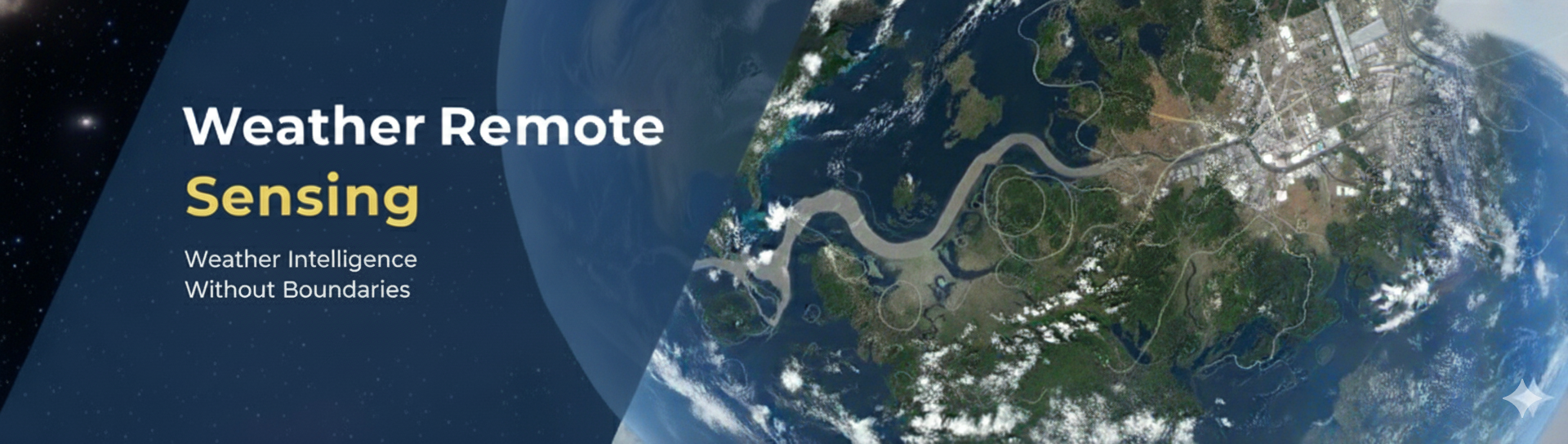
The LAS MkII Scintillometer is a laser-based instrument that measures atmospheric turbulence and surface heat flux. It detects light intensity fluctuations caused by temperature and humidity changes, providing accurate, area-averaged energy and moisture data. Its weatherproof housing, built-in logger, and modular design enable continuous, low-maintenance operation.
.png)
.png)
.png)
.png)
.png)

The Laser Weather Sensor (disdrometer) is a precision laser‑optical instrument for measuring all types of precipitation. It tracks individual hydrometeors by detecting changes in laser beam intensity, allowing it to classify drop size, velocity, and type. With built-in heating and a rugged housing, it delivers continuous, accurate precipitation data in challenging conditions.
.png)
.png)
.png)
.png)
.png)

The ASI‑16 All‑Sky Imager is a high-resolution camera that captures a full 180° view of the sky for continuous cloud monitoring. Its fisheye lens, heated quartz dome, and ventilated housing enable reliable operation in extreme temperatures. Onboard logging and real-time streaming support accurate cloud type and motion analysis.
.png)
.png)
.png)
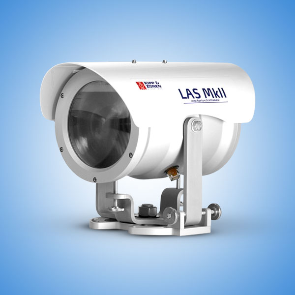
The MeteoLaser LiDAR is a pulsed Doppler wind lidar that measures horizontal and vertical wind speeds up to ~300 m. It uses four laser beams (N, E, S, W) for accurate 3D wind profiling, with ±0.1 m/s speed and ±1° direction accuracy. Its rugged, low-power IP67 design and onboard 100 GB storage enable continuous, reliable operation in diverse environments.